WoodlandVisions
Humans - Trees - Woodlands
Copyright: Waldvisionen e.U. (2016)
- Welcome
- Plans and valuations
- Urban Forestry
- Policy and markets
- GIS and Remote Sensing
- Ecosystem monitoring
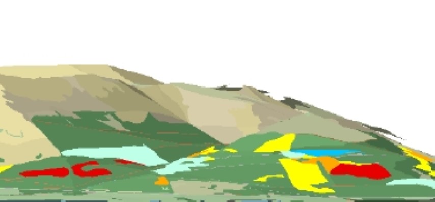
GIS and Remote Sensing
The use of Geographic Information Systems (GIS) is considered state of the art for acquisition, management and presentation of spatial data. Increasingly GIS-technology is applied not only within the framework of specialised applications (GIS-software packages) but as an integral element of a wide range of applications for professional as well as recreational purposes.
We apply our longstanding experience as well as innovative new approaches across our service portfolio for natural resource management.
In addition we offer GIS-know how as an independent service.
What we offer
Development, management and service of GIS-databases
Specialised analyses based on up to date aerial and satellite imagery and other sensort data (e.g. LIDAR)
GIS project consultancy (e.g. market overview for product advice, tender documents, tender management)
Individually tailored training offers for speicific sotware packages and applications (e.g. ESRI-ArcGIS, QGIS, IDRISI, MapInfo; MapMaker)